The Course
The Chuckanut 50k is a lollipop-shaped course. The first 10k and last 10k repeat on the Interurban Trail with smooth, relatively flat running. The middle 30k is what this race is known for--you get to traverse and descend the famous Chuckanut Mountain Ridge amongst beautiful Pacific Northwest terrain. There are five aid stations along the course.
Start - 0 miles / 0 km, Fairhaven Park upper pavilion - 6.8 miles / 10.94 km to next
Aid #1 - 6.8 miles / 10.94 km, Lost Lake Parking Lot - 4.2 miles to next
Aid #2 - 10.2 miles / 16.4 km, Two Dollar Trailhead on Cleator Rd - 2.8 miles to next
Aid #3 - 13 miles / 20.9 km, Ridge Trail entrance near the top of Cleator Rd - 7.3 miles to next
Aid #4 - 20.3 miles/ 32.7 km , bottom of Chin scraper - 4.7 miles to next
Aid #5 - 25 miles / 40.2 km, where Fragrance Lake Trail meets Interurban - 6.1 miles to finish
Finish - 31.1 miles / 50 km, Fairhaven Park upper parking lot
LINK to Chuckanut 50k Map My Run - (also shown below)
Start and Finish area
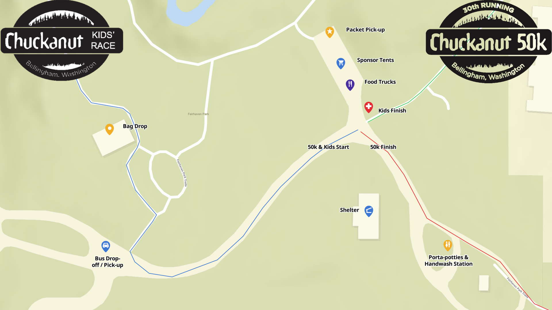
START & FINISH Area: Fairhaven Park, 107 N Chuckanut Drive, Bellingham WA 98225
Course preview videos
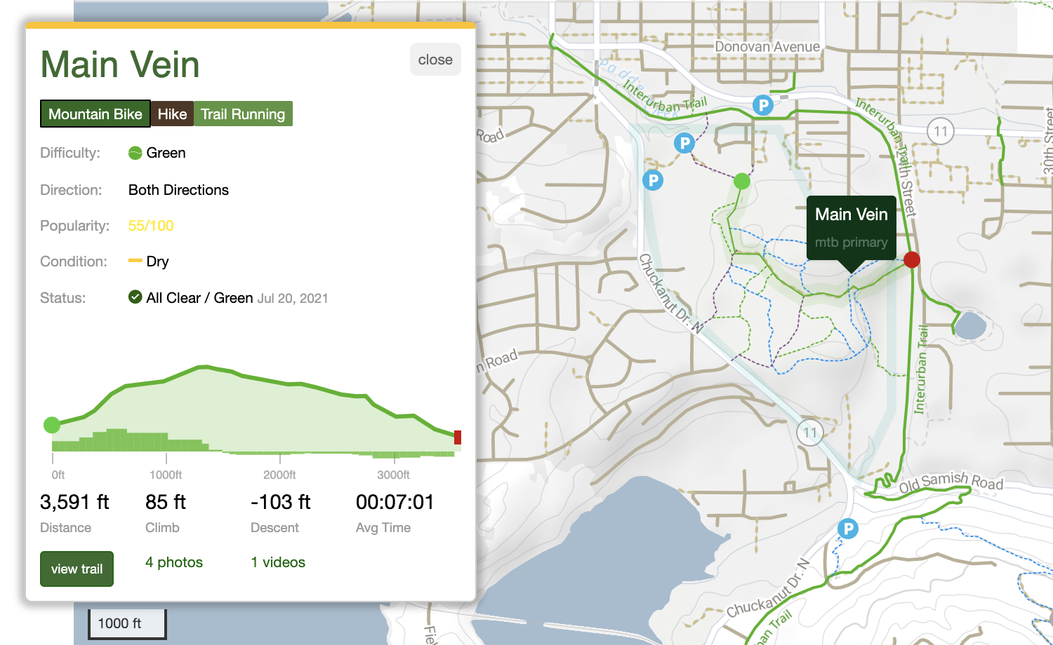
This video was filmed in 2022. While the route is the same the City has done major improvements to this Main Vein Trail! With an obvious gravel path now making the way clear.
100 Acre Woods Final Mile
RunGo Course Map
The following course map was provided by the team at RunGo. They’ve set it up to show the route, verified, 3D, and it is set up for flyover. The GPX file is unlocked, so you can download it from there. You can view all the layers (3D, terrain, satellite, topo) and you can watch the flyover in any layer with the play button. This is a great free service they provided. Please let me know if you have any feedback!